https://www.lifegate.it/frana-cartografia-geologica
- |
- More floods and landslides this late summer, with dramatic consequences like in San Felice a Cancello.
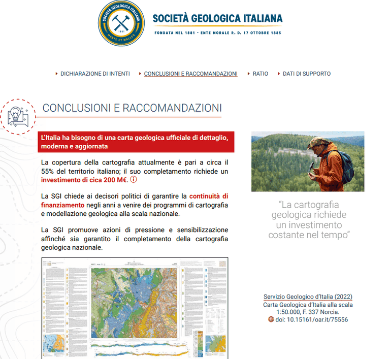
- Italy, despite being a territory with strong hydrogeological instability, has a geological cartography that is only 55 percent updated.
- Ispra notes that two thirds of all landslides that occur in Europe are on Italian territory.
New landslides caused by floods, from Campania to Northern Italy, interrupted an August of scorching heat, causing serious damage in the area and unfortunately probably still the loss of human lives.For a few years now, even on Italian territory, what Caribbean or tropical countries are used to is becoming normal, where the passage of strong storms is generally expected between the end of August and the beginning of September.But in Italy are we becoming familiar with these extreme phenomena, and implementing measures to adapt?Not really, according to Italian geologists, starting from the fact that we don't have one updated geological cartography.
A geological cartography in half
The sudden meteorological change this time mainly affected Campania and in particular the municipality of San Felice a Cancello, where landslides and mudslides have engulfed the town.The search for two missing people, a 74-year-old mother and her 41-year-old son, is still ongoing, with very little chance of finding them alive.Rescue teams, including Fire Brigade, Red Cross and Civil Protection, as always in emergencies, are working incessantly to and help the affected population.But flooding, landslides and storms had also hit the centre-north as early as the second half of August.
The fact is that in Italy, a country not only at high seismic risk (as we are seeing recently in the Campi Flegrei) but also grappling with strong hydrogeological instability, to date only just over half of the territory, 55 percent, it is covered by modern geological cartography.Yet geological cartography represents a fundamental tool for basic knowledge of the territory for an advanced country that wants to consciously and effectively face the inevitable challenges linked to the protection, management and planning of its territory and the sustainable use of its resources.This is the warning launched by geologists and mineralogists, who, starting from September 2nd, in Bari, will meet in a joint national congress also to outline directions and intervention strategies for the recovery and adaptation of the territory to its fragility and to the threat of climate change.
“It is impressive to think that in a country like ours, characterized by a fragile territory affected by numerous natural risks, in 2024 we still do not have an updated and complete knowledge of what we have under our feet.We know very little about the “outer shell” of our earth,” he explains Rodolfo Carosi, President of the Italian Geological Society, on the eve of the national congress.The value of an updated geological cartography, explains Carosi, “is equal to that of anational strategic infrastructure with a very high impact, both for its fundamental cultural value and for the usefulness it has in a wide range of practical and application fields".

The Italian Geological Society has been collaborating with Ispra for years to promote and disseminate at all levels of society the need for Italy to finally equip itself with updated, versatile and modern geological cartographic bases, which represent a fundamental basic knowledge tool for a An advanced country that wants to consciously and effectively face the inevitable challenges related to the protection, management and planning of its territory and the sustainable use of its resources.
Ispra itself carries out theinventory of landslide phenomena in Italy, in which, to date, they have been registered over 634 thousand landslides, which represent two thirds of European ones, and also publishes the report on hydrogeological instability in Italy which constitutes the official reference framework on the danger and hydrogeological risk for our country, but which is only every three years:based onlatest edition, which dates back to 2021, The 94 percent of Italian municipalities are at risk due to landslides, floods or coastal erosion, 1.3 million inhabitants are at risk of landslides and 6.8 million inhabitants at risk of floods.
