Meteorology
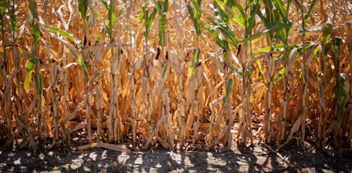
Many people are familiar with flash floods – torrents that develop quickly after heavy rainfall. But there’s also such a thing as a flash drought, and these sudden, extreme dry spells are becoming a big concern for farmers and water utilities. Flash droughts start and intensify quickly, over periods of weeks to months, compared to years or decades for conventional droughts. Still, they can cause substantial economic damage, since communities have less time to prepare for the impacts of a rapidly evolving drought. In 2017, a flash drought in Montana and the Dakotas damaged crops and grasses that served as forage for cattle, causing US$2.6 billion in agricultural losses. Flash droughts also can increase wildfire risks, cause public water supply shortages and reduce stream flow, which harms fish and other aquatic life. A developing flash drought in the central U.S. covered 64% of corn territory and 57% of soybean territory in la...
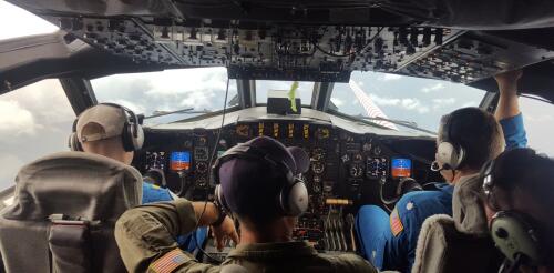
As a hurricane intensifies, hurricane hunters are in the sky doing something almost unimaginable: flying through the center of the storm. With each pass, the scientists aboard these planes take measurements that satellites can’t and send them to forecasters at the National Hurricane Center. Jason Dunion, a University of Miami meteorologist, has led hurricane field programs for the National Oceanic and Atmospheric Administration. He described the technology the team uses to gauge hurricane behavior in real time and the experience aboard a P-3 Orion as it plunges through the eyewall of a hurricane. What happens aboard a hurricane hunter when you fly into a storm? Basically, we’re take a flying laboratory into the heart of the hurricane, all the way up to Category 5s. While we’re flying, we’re crunching data and sending it to forecasters and climate modelers. In the P-3s, we routinely cut through the middle of the storm, right into the eye. Picture an X p...

