Storms
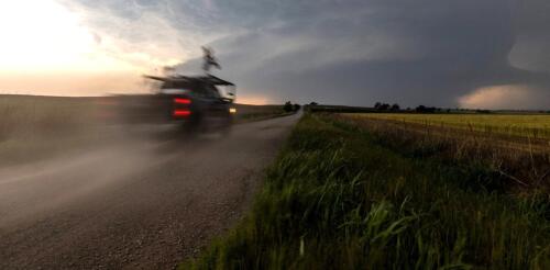
Storm-chasing for science can be exciting and stressful – we know, because we do it. It has also been essential for developing today’s understanding of how tornadoes form and how they behave. In 1996, the movie “Twister” with Helen Hunt brought storm-chasing scientists into the public imagination and inspired a generation of atmospheric scientists. With the new “Twisters” movie hitting theaters, we’ve been getting questions about storm-chasing – or storm intercepts, as we call them. Here are some answers about what scientists who do this kind of fieldwork are really up to when they race off after storms. Scientists with the National Severe Storms Lab ‘intercepted’ this tornado to collect data using mobile radar and other instruments on May 24, 2024. National Severe Storms Lab What does a day of storm-chasing really look like? The morning...
When you walk through a forest, it may feel like a static setting where very little is happening. But trees are constantly interacting and reacting to each other as they grow. There’s intense competition for light and space. Every shift affects the overall makeup of the forest in some way. Forest scientists like me spend a lot of time thinking about forest succession – a predictable process in which plant species colonize and dominate a piece of land. The basic sequence is for land to evolve from an open field to brush and shrubs, then to young trees and ultimately to large, mature trees. Disturbances, such as a major storm or wildfire, can interrupt or set back forest succession. I study ecological changes in species composition, tree arrangement and forest development that occur during succession and after disturbances. My research team analyzes conditions in mixed-species deciduous, or leafy, forests. Using tree rings, we reconstruct what previous forests looked l...
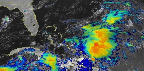
When tropical meteorologists peer at satellite images, they often catch sight of subtle cloud formations hinting at something more ominous brewing. The first signs of a potential hurricane can be detected days before a storm gains its fierce momentum. Wispy cirrus clouds radiating outward, the appearance of curved banding low-level clouds and a drop in atmospheric pressure are all clues. These early clues are crucial for predicting the onset of what might develop into a catastrophic hurricane. I am a meteorology professor at Penn State, and my research group uses satellites and computer models to improve forecasting of tropical weather systems. With an especially fierce Atlantic storm season forecast for 2024, being able to detect these initial signals and provide early warnings is more important than ever. Here’s what forecasters look for. Hurricane Harvey entered the Gulf of Mexico as a tropical wave before reorganizing into a tropical storm a...
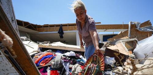
Spring 2024 was unnerving for people across large parts of the U.S. as tornado warnings and sirens sent them scrambling for safety. More than 1,100 tornadoes were reported through May − a preliminary number but nearly twice the 30-year average at that point and behind only 2011, when deadly tornado outbreaks tore across the southeastern U.S. The U.S. experienced several multistate outbreaks in 2024. Tornadoes damaged homes from Texas to Minnesota and east to West Virginia and Georgia. They caused widespread destruction in several towns, including Greenfield, Iowa; Westmoreland, Kansas; and Bartlesville, Oklahoma. Barnsdall, Oklahoma, was hit twice in two months. In May, at least one tornado occurred somewhere in the country almost every day. Greenfield, Iowa, after a powerful EF4 tornado cut through the city on May 21, 2024, amid a deadly tornado outbreak. What causes some years to have so many tornadoes? I’m a meteorologist w...
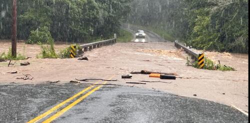
The French Broad River winds through the mountains of western North Carolina, fed by dozens of mountain streams, and crosses the city of Asheville. At over 2,000 feet above sea level and more than 250 miles from the coast, it is an unlikely place to prepare for a hurricane. Yet, the remnants of several hurricanes have swept through this region over the years, sending rivers in the region raging out of their banks. When these storms hit back to back, the devastation can be enormous. In September 2004, for example, remnants of Hurricanes Frances, Ivan and Jeanne all brought excessive rain to western North Carolina in the span of a few weeks, overwhelming the French Broad and other rivers in the Asheville area. Western North Carolina’s history is just one example of the inland risks from tropical cyclones. A U.S. map of hurricane storm tracks since 1851 shows that the storms and their remnants often travel far inland. Yellows to reds...
