https://www.lifegate.it/ponte-stretto-messina-calabria-sicilia
- |
- An oceanographic campaign by the Cnr reveals deep cracks in the seabed of the southern Ionian Sea, where a system of faults is progressively moving Calabria away from Sicily.
- The slippage would be due to sediments rising to the surface and mud volcanoes.
- The news reopens doubts about the safety of the bridge over the Strait of Messina, even if the company in charge assures that "the discovery is not relevant to the work".
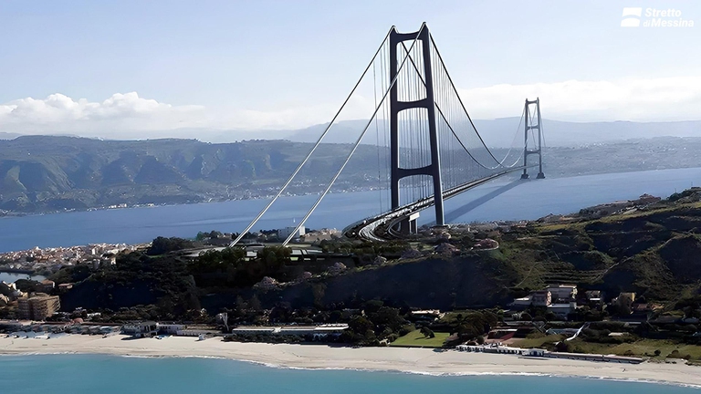
There is another hitch in the project for the construction of the famous and much discussed bridge over the Strait of Messina, the workhorse of the current Italian government.And this time it's not the people who are showing doubts interested territories, environmentalist associations and political oppositions, but science, and in particular the National Research Council:there oceanographic campaign Sirens, conducted on the oceanographic vessel Cnr Blue Gaia and just finished, using cutting-edge geophysical technologies, it has in fact identified a field of underwater reliefs aligned along deep cracks in the seabed of the southern Ionian Sea, where a system of faults is progressively moving Calabria away from Sicily, causing the earth's crust to slowly sink off the coast of strict.That is, the faults on which the bridge would be built are mobile and unstable, to the point that Calabria and Sicily are moving apart.And so the question would arise spontaneously:Could this instability also concern the bridge over the Strait of Messina?
What does it mean that Calabria and Sicily are moving apart?
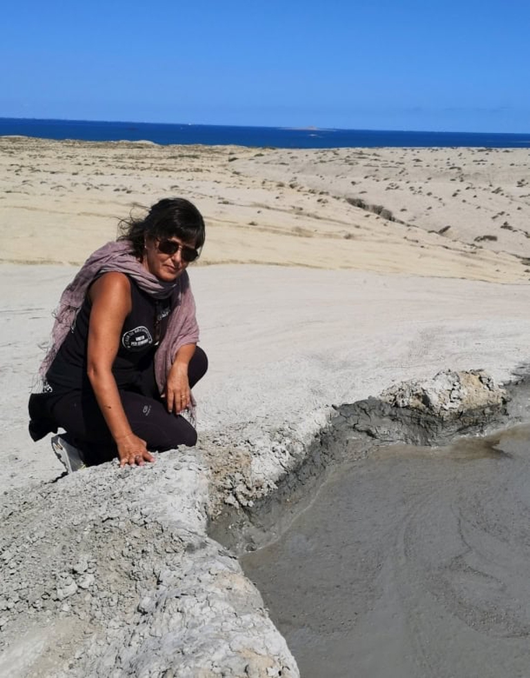
According to the results of the Sirene campaign, it is the so-called who are causing this shift that is distancing Calabria and Sicily diapirs – sediments that rise from deep areas, visible only with ultrasound scans of the subsoil – e mud volcanoes which are formed when deep material rises towards the surface together with fluids and gases, sometimes generating real fluid and viscous eruptions.The research is only in its first steps, and from now on the researchers' objective will be to delve deeper into the nature and provenance of the material that rises along these large lithospheric faults, and to understand how these influence the generation of earthquakes in one of the most seismically active areas in Europe.
“The sonar images recorded on board Gaia Blu have highlighted in great detail the morphologies of these reliefs, which show indications of recent eruptive and tectonic activity.Some volcanoes have a perfectly conical shape, others have sub-circular shapes but are very wrinkled and elongated in the direction of the faults, and are often associated with underwater landslides", explains the campaign coordinator Alina Poland, researcher atInstitute of Marine Sciences of the Cnr (Cnr-Ismar).“The geophysical data acquired will allow us to reconstruct the morphology of the devices and the physical properties of the materials involved, to understand whether they are fed by mud, volcanic material - in fact we are not far from Mount Etna -, or by diapiric rising of rocks found usually in the Earth's mantle at a depth of over 20 km.If this were the case, it would be the last strips of the earth's crust coming fromoldest ocean on Earth, the Tethys, not yet involved in the process of subduction and orogeny that formed the Apennines and the Alps".

The fact is that the bridge that will one day connect Reggio Calabria and Messina, Calabria with Sicily, should stand precisely in that area, one of the most seismically active in Europe.In the intentions of the Ministry of Infrastructure, recently reiterated at the Ambrosetti Forum in Cernobbio, the definitive approval of the project by the Interministerial Committee for Economic Planning and Sustainable Development (Cipess), by the end of 2024.And that the Cnr's publication contributed to reopening doubts about the sustainability and safety of the work.To the point that the Strait of Messina Society intervened officially to reply that the identification of the geological formations mentioned "is not relevant for the feasibility of the bridge over the Strait of Messina".According to the company in charge of the work, in fact "it is known that the Sicilian and Calabrian coasts are subject to an albeit minimal removal" estimated at one millimeter per year, “widely considered in the final project of 2011 and its update of 2024”.

While waiting to know new details on the results of the Cnr campaign, (the Gaia Blu team has taken - through core sampling systems - samples of sediment and rocks on the sides of these submarine volcanoes and the laboratory analyzes will allow, over the next months, to reconstruct the processes that control the ascent of deep fluids and material, with the ultimate aim of understanding the connections between geosphere and biosphere in extreme marine environments, in conditions similar to those in which life is thought to have emerged on Earth) , Friday 6 September Gaia Blu set sail from Catania again for another campaign, SPIN-Gela, focused in particular on the analysis of faults and sedimentary bodies in the vicinity of offshore oil and gas extraction platforms, with the aim of evaluating theirpossible geological hazard.
